Do you picture mornings under mossy oaks, afternoons on tidal creeks, and weekends at the beach? If so, Johns Island might be your kind of Lowcountry. You want space, privacy, and a slower pace without giving up access to Charleston’s dining, culture, and healthcare. In this guide, you’ll learn how daily life really works here, from commute patterns and services to outdoor fun, flood basics, and what to consider when buying. Let’s dive in.
Johns Island at a glance
Johns Island sits just west of the Charleston peninsula, surrounded by the Stono River, Kiawah River, and a network of tidal creeks. The landscape mixes marsh, live oaks, farm fields, and low rolling uplands that feel distinctly Lowcountry. It is commonly recognized as the largest island in South Carolina, which helps explain the variety of neighborhoods and lot sizes you find here.
The island’s cultural story runs deep. Gullah Geechee communities have shaped place names, foodways, and traditions across the Sea Islands. If you want to learn more about this living heritage, explore the National Park Service’s overview of the Gullah Geechee Cultural Heritage Corridor.
One of the island’s most recognizable landmarks is the Angel Oak, an ancient live oak protected at Angel Oak Park. It is a favorite quick stop for residents and visitors who love the area’s natural beauty.
Commute, roads, and transit
Most residents rely on cars for daily life. Primary roads funnel traffic toward the Stono and Johns Island bridges, then into West Ashley or downtown. Depending on where you live on the island and the time of day, a typical commute to downtown Charleston can range from roughly 20 to 45 minutes. Weekend and tourist-season traffic can add delay, especially on beach routes.
Public transit is limited compared with urban Charleston. Regional agencies discuss service options from time to time, but auto dependence remains the norm. For updates on system plans or routes, check CARTA’s resources.
Everyday services and shopping
You will find local convenience stores, cafés, and small groceries on Johns Island, along with farm stands for seasonal produce and seafood. For full-size supermarkets, specialty retail, and larger services, many residents drive to West Ashley or James Island. Hardware, pharmacy, and home services are available nearby, and local businesses support island lifestyles like boating, landscaping, and home projects.
Schools and childcare
Johns Island addresses are served by the Charleston County School District. Assignments vary by address and can change with rezoning. If schools are a factor in your decision, start with the Charleston County School District site for maps, enrollment rules, and program details. Families also consider private or independent schools across the Charleston area, weighing commute time along with academics.
Healthcare and hospitals
You have quick access to urgent care and primary care options on or near the island. For hospital and specialty care, most residents use West Ashley facilities and Charleston’s major hospital systems. The closest major hub is MUSC Health, along with other regional hospital networks in the metro.
Dining and local flavor
The food scene reflects Lowcountry priorities: seafood, farm-to-table menus, and casual spots with marsh views. Local produce, shrimp, oysters, and seasonal specials show up at markets and on menus throughout the year. When you want a big night out or nationally recognized dining, Charleston’s peninsula is an easy drive.
Outdoor life and recreation
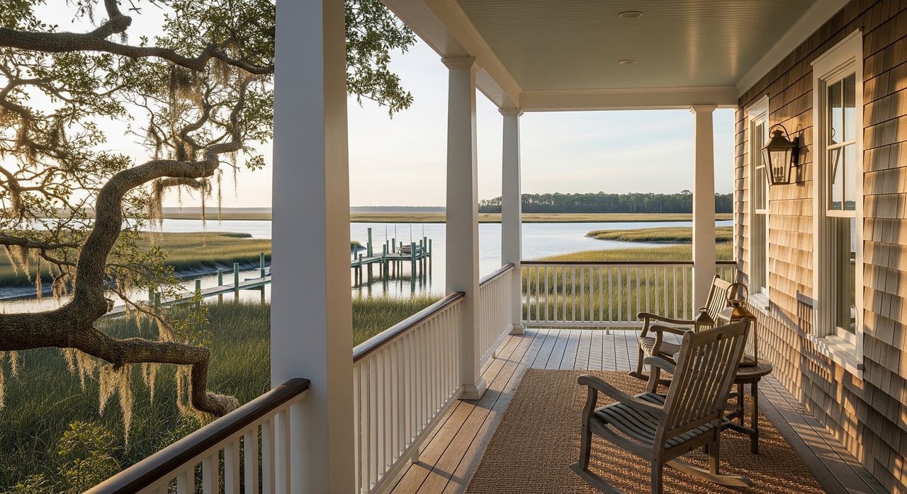
If you love the water, you will fit right in. Johns Island is ringed by tidal creeks and river corridors like Bohicket Creek and the Stono River. Residents kayak, paddleboard, fish, and crab on calm estuarine waters. Marinas and small launches serve both boaters and inshore anglers.
Beach days are simple to plan. Johns Island is not oceanfront, but you are close to Kiawah and Seabrook amenities and a short drive to Folly Beach. Many waterfront homes here sit on creeks and rivers rather than on the ocean, which offers a quieter, more sheltered coastal feel.
Angel Oak Park is a beloved green space, and the broader region has county parks for hiking, birding, and picnics. Equestrian trails, active farms, and hunting leases exist in parts of the island, so outdoor lifestyles are part of the everyday rhythm.
Real estate mix and growth
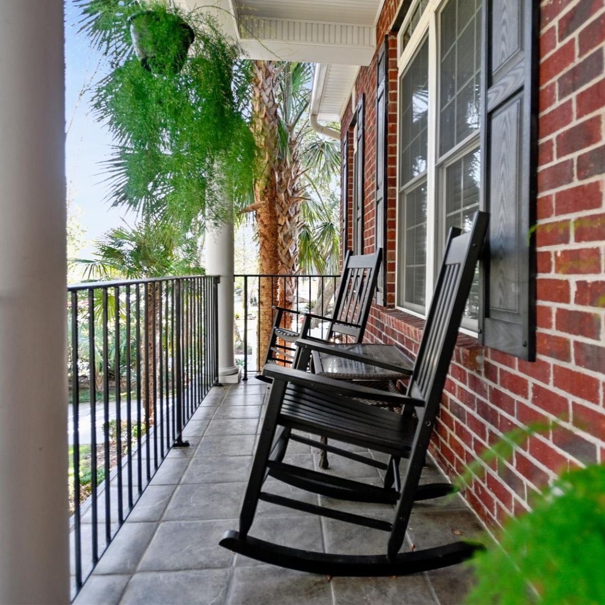
Expect a wide range of property types. You will see historic homes, rural acreage and farm tracts, newer subdivisions, planned communities, and custom builds along creeks and rivers. Many buyers discover they can find larger lots here compared with neighborhoods closer to downtown.
Demand has grown thanks to the island’s space, setting, and proximity to Charleston. The local association publishes regular market updates; for current trends and pricing snapshots, watch the Charleston Trident Association of REALTORS.
Growth is a frequent topic in community meetings. Infrastructure capacity for roads, sewer, and schools influences where development happens, and many parcels still use septic systems. County planning and rezoning processes shape what gets built and where. You can review county land-use guidance at the Charleston County Planning Department.
Flood, elevation, and insurance basics
Parts of Johns Island sit within FEMA floodplains and areas of tidal flooding. Sea-level rise and higher-tide events make due diligence essential. Smart steps include:
- Check FEMA flood maps for the parcel’s zone and Base Flood Elevation, then compare to the home’s finished-floor elevation. Start your research at the FEMA Flood Map Service Center.
- Ask for elevation certificates, past surveys, and any flood insurance details.
- Identify whether a property is in a V zone or AE zone. Building requirements differ, which can affect costs.
- Understand local building rules such as freeboard above BFE and elevation standards. County permitting and inspection resources are here: Charleston County Building Services.
Flood insurance may be required by lenders. Premiums depend on elevation, building type, mitigation features, and current NFIP or private-insurance guidelines. An experienced local agent can help you estimate costs and navigate inspections.
Utilities, septic, and broadband
Service levels vary by neighborhood, so verify before you write an offer. Many homes use septic systems rather than public sewer. This affects lot selection, renovation options, and long-term maintenance. Water, electric, and broadband providers can differ, and speeds are not uniform across the island. Confirm providers, any planned upgrades, and the age and condition of systems during due diligence.
Who Johns Island fits
Buy here if you want a rural-meets-suburban lifestyle within easy reach of Charleston’s culture and dining. It is a great match for boaters, anglers, paddlers, and equestrian enthusiasts. Families and retirees appreciate quieter neighborhoods and a strong sense of place rooted in Lowcountry and Gullah Geechee heritage.
Tradeoffs include longer car commutes than on the peninsula, limited big-box or specialty retail on the island itself, and the need to plan around flood risk and septic. Infrastructure sometimes lags growth, so watch local planning updates and community meetings.
Buyer checklist for Johns Island
Use this quick list as you tour homes and talk with your agent:
- Location and routine: Map drive times to work, school, groceries, and beach access. Try routes at rush hour and weekends.
- Flood and elevation: Confirm FEMA flood zone, BFE, finished-floor elevation, and available elevation certificates.
- Insurance: Ask about current flood insurance and any claims history.
- Utilities and systems: Verify public sewer vs septic, age of septic, water and electric providers, and broadband options.
- Zoning and future change: Check parcel zoning, HOA rules, nearby rezoning cases, and potential road projects.
- Schools and services: Confirm school assignments with the Charleston County School District. Note distance to urgent care and hospitals like MUSC Health.
- Property documents: Request recent surveys, title work, and any permits for additions, docks, or seawalls.
How to choose the right pocket
Because the island is large, two Johns Island addresses can live very differently. Start by defining your top priorities. Do you want quick access to Charleston dining and hospitals, or is creek frontage and boat storage the bigger draw? Would you rather have acreage for gardens and horses, or the convenience of a newer subdivision with amenities?
Tour during different times of day to gauge traffic and noise. Walk properties after a rain to see drainage patterns. If you plan to build or renovate, talk early with county planning and permitting, and review elevation and freeboard rules at Charleston County Building Services. For regional transportation context, keep an eye on CARTA’s planning updates.
Planning, preservation, and community voice
Residents are active in conversations about growth, roads, and marsh protection. Community groups, churches, and local events make it easy to get involved. To stay grounded in the island’s cultural context, spend time at Angel Oak Park and learn about the Gullah Geechee heritage. County planning processes are transparent, and you can track public meetings through the Charleston County Planning Department.
Ready to make a move?
If Johns Island feels like home, you deserve guidance that is local, responsive, and hands-on. From mapping commute options to evaluating flood elevation and septic, you will save time and avoid surprises with an expert by your side. For a personalized plan and on-the-ground insight, connect with Andrew Scherl. Let’s find the right Johns Island home for your lifestyle.
FAQs
How long is the commute from Johns Island to downtown Charleston?
- Commute times vary by location and time of day, but many residents report roughly 20 to 45 minutes, with extra delays during weekends and peak tourist seasons.
Is Johns Island prone to flooding and how do I check a property?
- Portions of the island are in FEMA floodplains; check a specific address at the FEMA Flood Map Service Center and compare BFE to the home’s finished-floor elevation.
Which schools serve Johns Island addresses?
- Public school assignments depend on your address and can change; confirm program details and assignment maps with the Charleston County School District.
Where do Johns Island residents go for hospital care?
- Residents typically use West Ashley facilities and Charleston’s hospital networks, including MUSC Health for specialty and inpatient care.
How close is Johns Island to the beach?
- The island is not oceanfront, but you are minutes from Kiawah and Seabrook amenities and a short drive to Folly Beach for public beach access.
What should I know about septic systems on Johns Island?
- Many homes use septic rather than public sewer; verify system age and condition, and consult Charleston County Building Services for permitting or upgrade questions.